
Notice:
NEWS CENTER
Service Number:contact us
400-828-9920
- Address:
- The United States BoTe instrumentation sales and service center in China
- Contact:
- magner
- Phone:
- 400-828-9920
- Fax:
- 400-828-9921
Bote destructive instrument
Location:
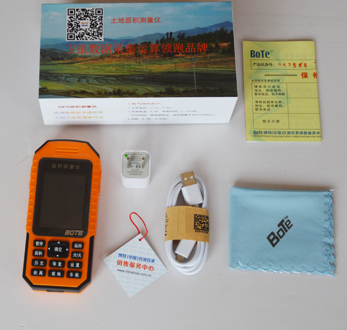
BOTE (BOT) GPS 600AS new land area measuring instrumentrelease time:2017-04-26
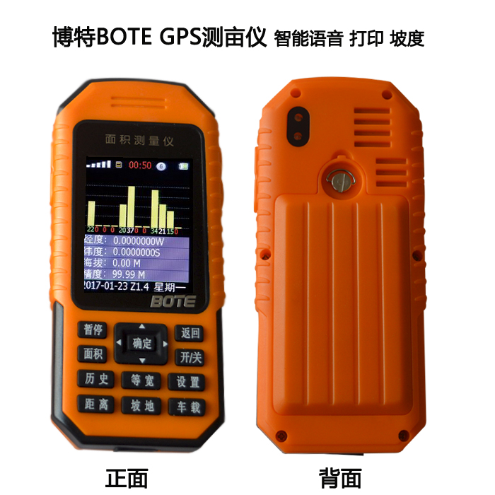
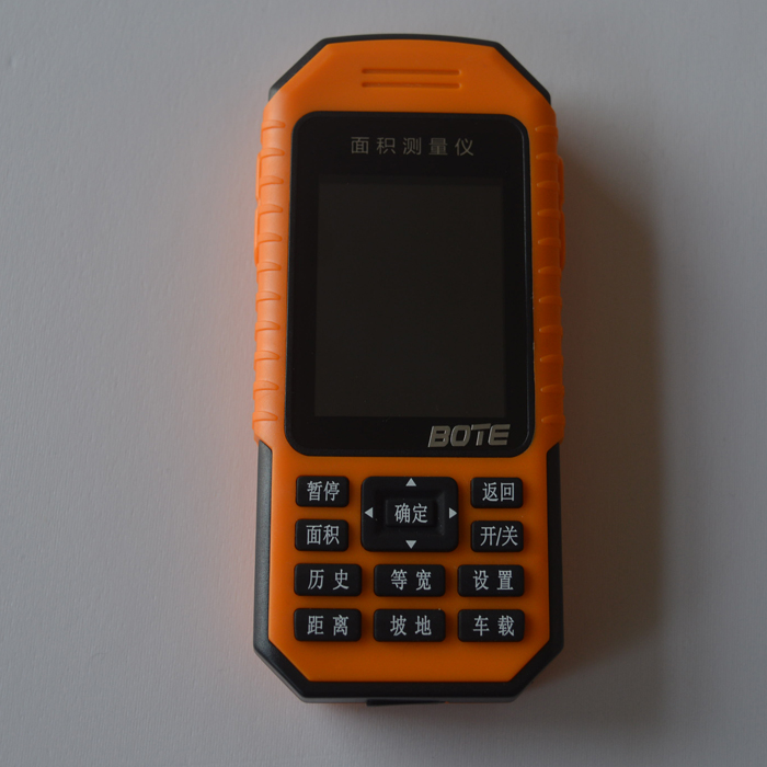


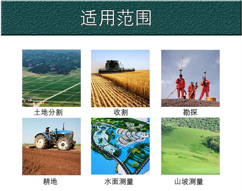
BOTE (BOT) GPS land area measuring instrument for measuring 600AS new land, land division, agricultural harvest, field engineering survey work, forestry, agricultural water measurement, measurement, measurement of slope and so on, is the main area of the length precision measurement of land, also can be connected to computer graphics print.
Main technical parameters:
GPS chip: UBLOX7
GPS accuracy: 0.7-1.5 M
Measuring range: 0-999999.99 meters to infinity
Distance measurement range: 0-999999.99 m distance (distance between linear and curve can be measured)
Relative accuracy: 1-2 m
Area measurement error and scope: 1 acres of the following: <=5% mu -3 Mu: <=3% 3 mu -10 Mu: <=2% more than 10 acres: <=1%
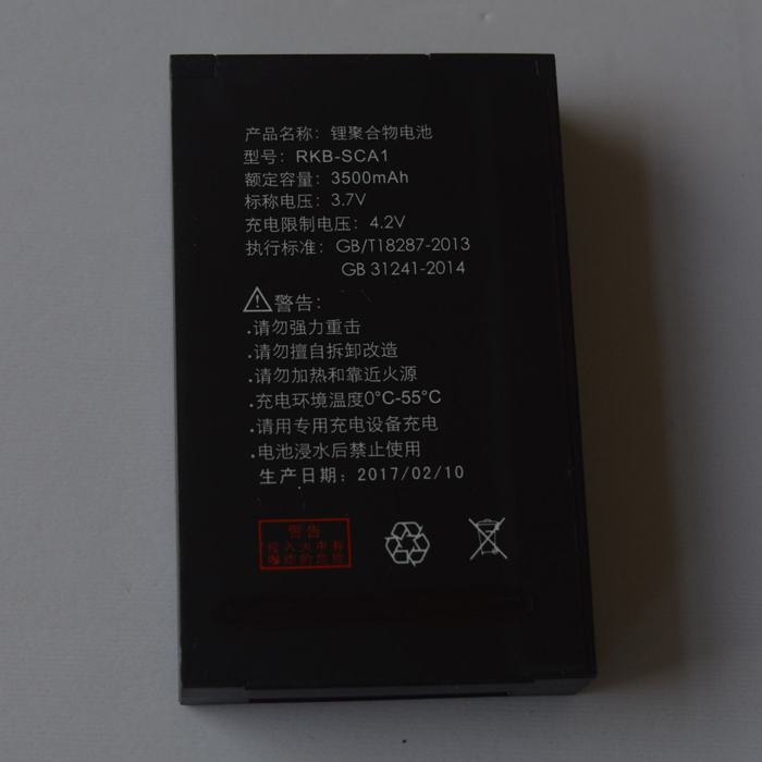
Power supply: polymer rechargeable battery (3500mAH can work continuously for about 50 hours)
The length and width of the instrument is about 14.3 cm long and X6.5 cm wide and X2.3 cm thick
Instrument weight: About 150g
Product introduction:
1) the whole intelligent voice broadcast process and measurement results, using a highly accurate positioning satellite longitude, latitude and elevation of UBLOX7 chip imported, in order to ensure the high precision of the satellite signal measurement of land area, length and perimeter.
2) color display, using large capacity rechargeable lithium batteries and battery power supply mode combo in the sun can be clearly visible. BOTE GPS 600AS high precision measuring instrument with lighting function, area detector function, calendar and many other value-added functions, convenient customer.
3) the size of a key intelligent measuring land area, BOTE GPS 600AS high precision measuring instrument with agricultural operations vehicle functions, but also have no need to enter in the slope angles, automatic conversion of direct measurement of hillside area.
4 (BOTE) GPS 600AS high precision area measuring instrument also has the "pause" function during the measurement process, which does not affect the measurement results of the whole land area in the process of suspension. But also can measure the distance to measure the linear distance, curve distance. There is a big bright spot can set the size function for a large area of acres of land measurement in the northern acreage.
5) BOTE GPS 600AS high precision measuring instrument with "history" records storage function, can directly store the current measurement results of images and data derived by professional software area and supporting computer connection, pictures and print results.
